
Services Mapping
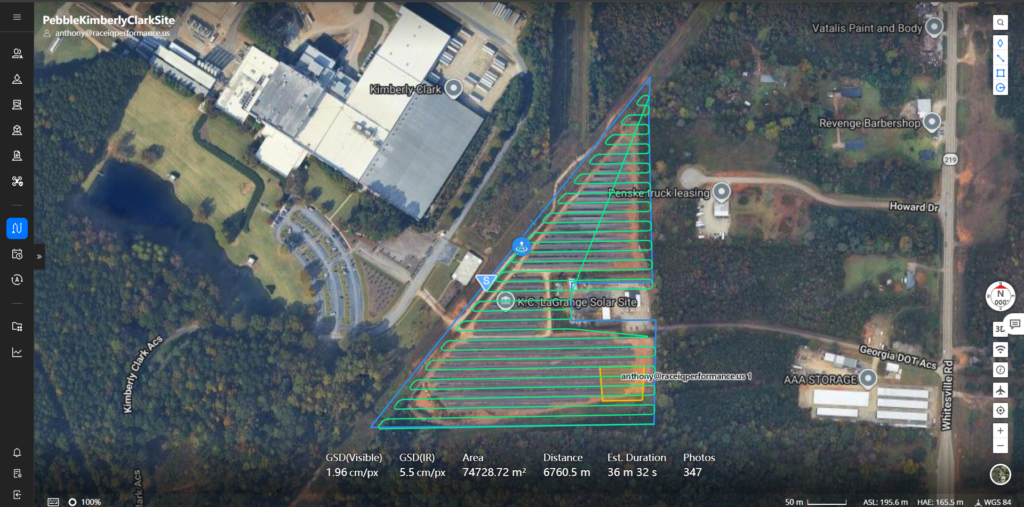
Orthmosaic / 2D Mapping
ACCURATE AERIAL MAPPING FOR BETTER DECISIONS
See your property with unmatched clarity.
West Georgia Drone Services provides high-resolution 2D orthomosaic mapping solutions for construction, agriculture, land development, inspections, and property management.
Unlike standard aerial photos, orthomosaic maps are created by stitching hundreds of drone images into a single, highly detailed and geographically accurate map.
Perfect for:
✅ Construction Progress Monitoring
✅ Land Development Planning
✅ Property Documentation
✅ Agricultural Operations
✅ Site Surveys
✅ Large Acreage Assessments
3D Mapping
SEE YOUR PROPERTY IN 3D
Transform aerial data into powerful visual models.
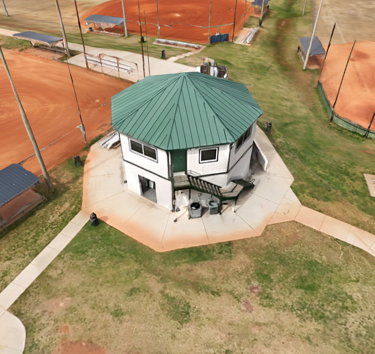
West Georgia Drone Services provides professional 3D mapping and modeling solutions for construction, land development, engineering, inspections, and site planning.
Using advanced drone technology, we create detailed 3D models that allow you to visualize terrain, structures, stockpiles, and project sites from every angle.
Perfect for:
✅ Construction Projects
✅ Land Development
✅ Engineering & Planning
✅ Volume Calculations
✅ Site Documentation
✅ Progress Monitoring
✅ Infrastructure Inspections
Thermal Mapping
SEE WHAT THE EYE CAN’T SEE
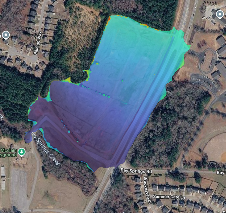
Thermal land mapping reveals critical information hidden beneath traditional aerial imagery.
West Georgia Drone Services uses advanced thermal drone technology to identify temperature variations across large properties, helping landowners, farmers, developers, and businesses make informed decisions.
Perfect for:
✅ Drainage & Water Flow Analysis
✅ Irrigation Assessments
✅ Wildlife & Livestock Detection
✅ Environmental Monitoring
✅ Search & Recovery Operations
✅ Property Assessments
F.A.Q.
2D drone mapping uses aerial photographs captured by a drone and processed into a high-resolution orthomosaic map. These maps provide accurate, measurable overhead views of a property, construction site, farm, or inspection area.
3D drone mapping uses hundreds or thousands of overlapping aerial images to create a detailed three-dimensional model of a structure, site, or landscape that can be viewed and measured from multiple angles.
Thermal drone mapping uses specialized infrared cameras to detect heat differences across a property, structure, or landscape. The resulting maps help identify issues that may not be visible to the naked eye.
Yes. Factors such as sunlight, cloud cover, wind, precipitation, and ambient temperature can influence thermal readings. Flights are often scheduled during optimal conditions to ensure accurate results.
Drone mapping can cover anything from a single residential property to hundreds of acres in a single project. Larger areas may require multiple flights depending on terrain and airspace restrictions.