
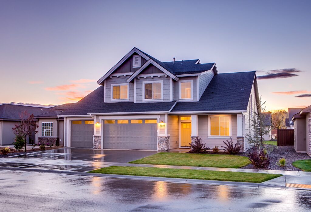
In a market like Carrollton, the first showing happens online. Buyers scroll through listing photos before they ever set foot on a property, and the listings that stop the scroll are the ones that show something the others can’t. That’s where aerial photography earns its keep. A single overhead shot can communicate lot size, layout, and setting in a way that ten ground-level photos can’t — and it signals to buyers that the listing was done right.
Why aerial imagery sells homes
Ground photos show a room. Aerial photos show a property. For homes on acreage, corner lots, or wooded parcels around Carrollton and Carroll County, that difference is the whole story. Drone photography captures the full footprint of a property — the driveway approach, the tree line, the outbuildings, the pond, the distance to the road — so buyers understand what they’re actually getting.
Listings with aerial media tend to attract more online views and hold attention longer. For agents, that means more inquiries per listing. For sellers, it means a property that presents like it’s worth the asking price.
What we shoot
West GA Drone Services provides professional aerial photography and video for both residential and commercial listings. Residential work is ideal for luxury homes, large lots and acreage, farms and rural homes, waterfront properties, and new construction. On the commercial side, we cover office buildings, retail centers, industrial facilities, warehouses, development sites, and multi-family properties — highlighting parking, access, traffic flow, and property boundaries.
Every shoot is flown by an FAA Part 107 certified pilot on professional-grade equipment, fully insured, so agents and brokers can market with confidence.
Fast turnaround built for listing deadlines
Most residential shoots take 30 to 60 minutes on-site, depending on the size and complexity of the property. Edited photos and video are typically delivered within 24 to 72 hours — in time to launch the listing while the momentum is fresh.